|
Where in the World?
The Islands of the BVI
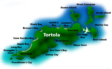
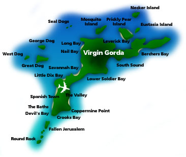
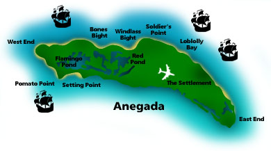
These BVI islands are some the islands Mr. & Mrs. Brown will be exploring. The expedition base will start at Virgin Gorda.
|
|
|
TORTOLA ISLAND
• Size: 21.5 square miles - 13 miles long and 2 miles wide
• Highest Point: Mount Sage - 1,780 feet above sea level
• Population: 14,000
|
 |
|
VIRGIN GORDA ISLAND
• Size: 8.5 sq mi - 10 miles long and 2 miles wide
• Highest Point: Gorda Peak - 1,370 feet above sea level
• Population: 3,000
|
 |
|
ANEGADA ISLAND
• Size: 15 sq mi - 11 miles long and 3 miles wide
• Highest Point: 28 feet
• Population: 173
|
 |
|
|
|
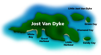
JOST VAN DYKE ISLAND
• Size: 4 sq mi
• Highest Point: 1,054 feet ASL
• Population: 200
|
 |
|
|
|
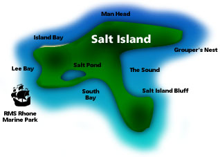
SALT ISLAND
• Size: 200 acres
• Highest Point: 290 feet ASL
• Population: 1
|
 |
|
|
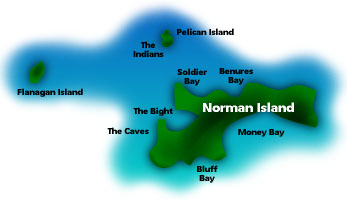
NORMAN ISLAND
(Treasure Island)
• Highest Point: 440 feet ASL
• Population: 0
|
 |
|
|
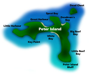
PETER ISLAND
• Highest Point: 500 feet ASL
• Population: a private island - no local population
|
 |
|
|
|
|